Introduction to PostGIS
This course provides an introduction to PostGIS and its most important features and capabilities. From spatial data types to spatial joins, the training will cover all topics concerning quickstart spatial data management and analysis within PostgreSQL. Along with gaining theoretical knowledge, participants will work with real-world datasets to deepen and reinforce their practical skills.
Information about the course
| Designed for the product: | PostgreSQL |
|---|---|
| Group size: | Group of up to 15 students |
| Type of exam: | 30 min, theoretical |
| Requirements: | advanced knowledge of PostgreSQL |
| Course language: | Czech |
| Available online: | Yes |
| Course length: | 3 DAYS |
| Course price: | € 1,500 excluding VAT |
Course content
Day 1
- Setup and maintenance of PostGIS
- Tooling (Import, Export, ETL)
- Storage and management of spatial data
- Spatial data types and indices
- Geometry
- Geography
- Spatial indexGIST
- SP-GIST
- BRIN
Day 2
- Core functions
- Output
- Construction
- Accessor and setter
- Measurement functions
- Composition functions
- Decomposition functions
- Simplification functions
- Topological functions
- Bounding boxes
- Equality
- Relations
- Spatial joins
- Special Functions for processing and analysis
- Spatial aggregation
- Clipping, splitting, tesselation
- Segmentation
- Translation, scaling and rotation
Day 3
- Import/Export spatial data
- Validating and fixing spatial data
- Analyzing spatial data
- Visualizing spatial data

Jakub Zemanek
Technical Consultant & DBAAdditional information
Certificate
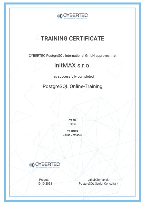
- After successfully passing the exam, you will obtain official Cybertec certification

Course Gifts

